Curembenya Fire West of Bocobra
Published Date: 08 Jan 2019
Summary
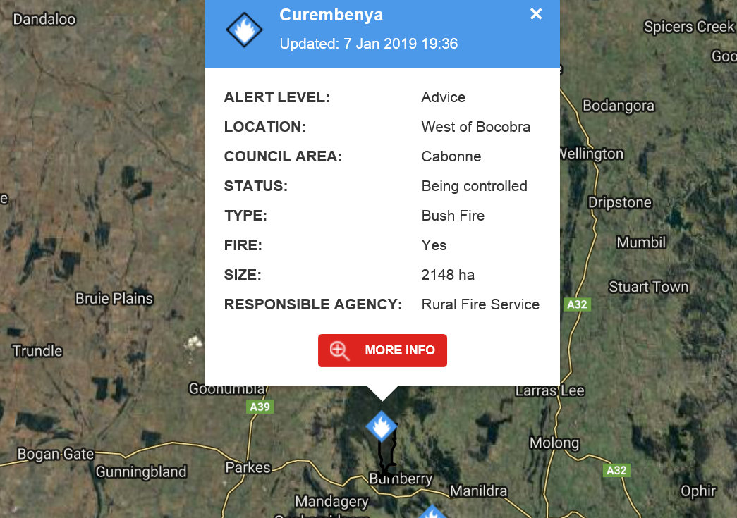
A large fire is burning in the Bocobra area of Cabonne Council.
See the latest information on the fires near me page.
View the latest update on the fire with the Major fire update: Curembenya Fire
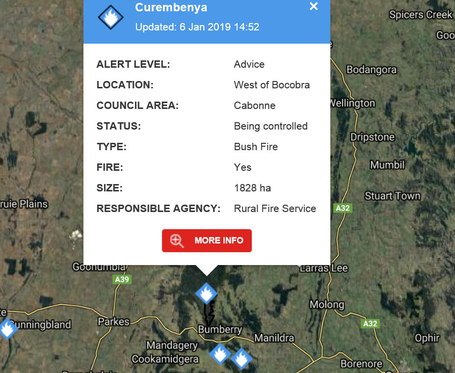
It has burnt approx 1828ha. Ground crews consisting of fire fighters, dozers and graders along with aircraft continue to attack this fire.
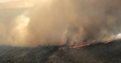
Video showing the Curembenya Fire.
This fire has been a challenge to contain due to the terrain.
This footage shows the intensity of the fire as it burnt in erratic conditions on Saturday.
View the Prime 7 news story
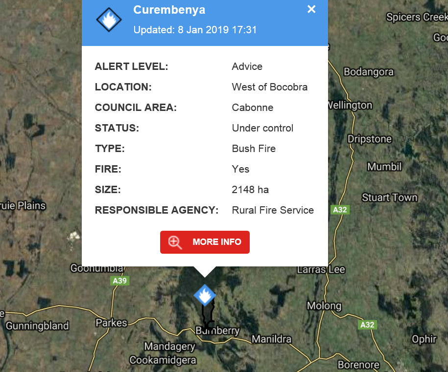
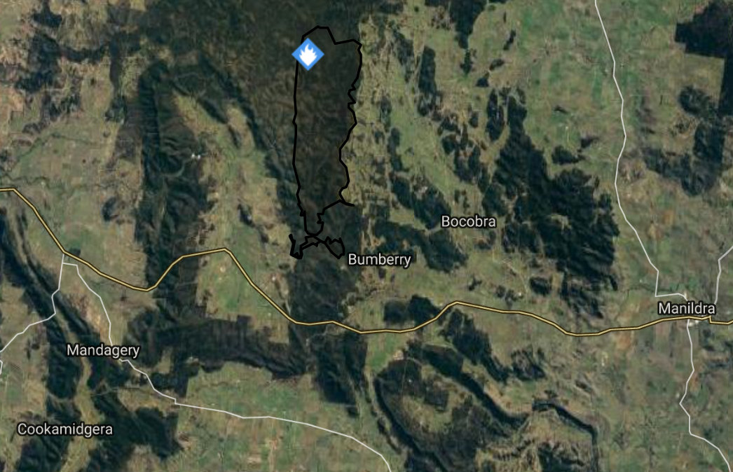
Update at 18:08 on 8/1/2019
A bush fire is burning in the Curembenya area of the Goobang National Park, west of Bocobra. The fire is currently 2150 hectares in size and is contained.
Current Situation
Rain across the fireground on Monday has seen minimal fire activity.
Patrols of the fireground will be limited to aircraft during daylight hours with tracks in the area inaccessible to ground crews due to rain.
There are no current threats to homes.
Advice
Check and follow your Bush Fire Survival Plan. If you do not have a plan, decide what you will do if the situation changes. Leaving early is your safest option.
Well prepared and actively defended homes can offer safety during the fire.
Other Information
- If your life is at risk, call Triple Zero (000) immediately.
- Continue to stay up to date with the bush fire situation by checking http://www.rfs.nsw.gov.au, listening to your local radio station or by calling the NSW RFS Bush Fire Information Line on 1800 679 737.
- For information on road closures, check http://livetraffic.rta.nsw.gov.au. Roads may be closed without warning.
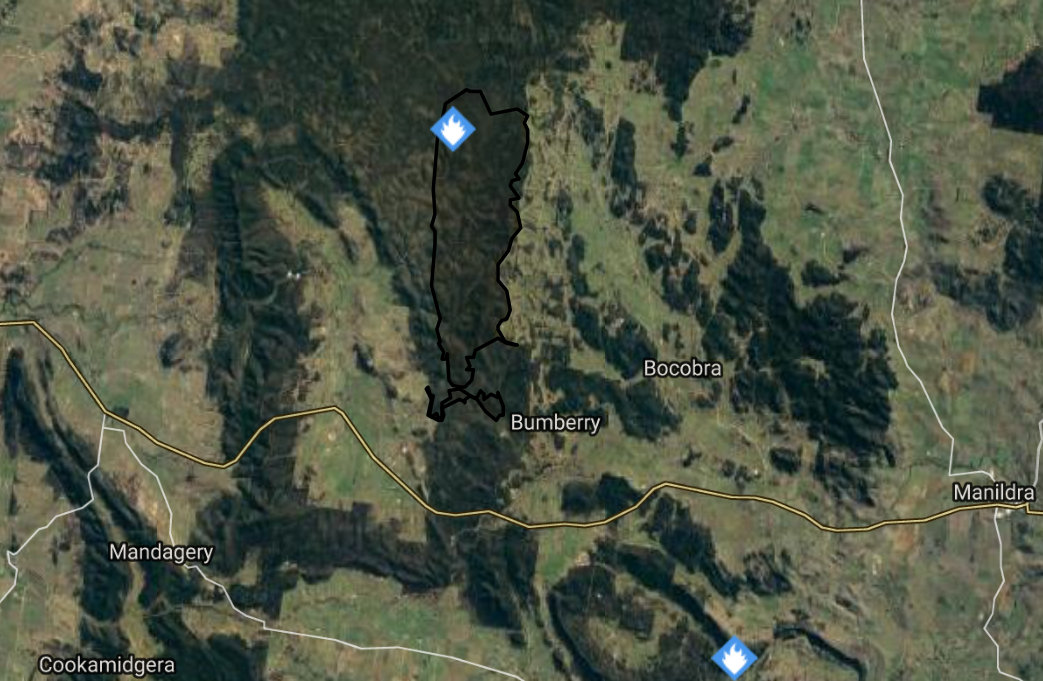
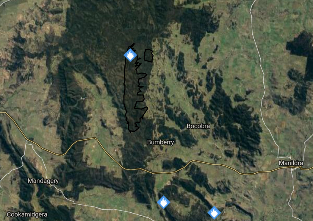
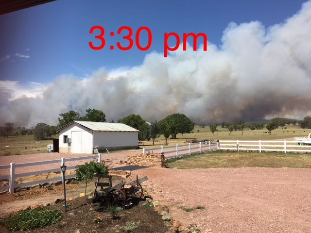
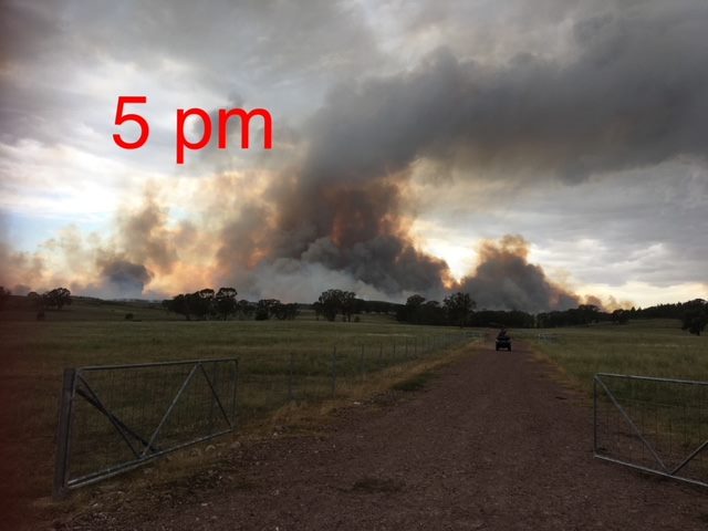
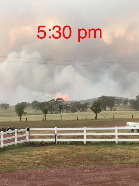
We have received today 3 photo's of the fire at Curembenya, taken on Saturday by Jade from "Woodburn". Note the times on each of the photo's, the fire was still going well.
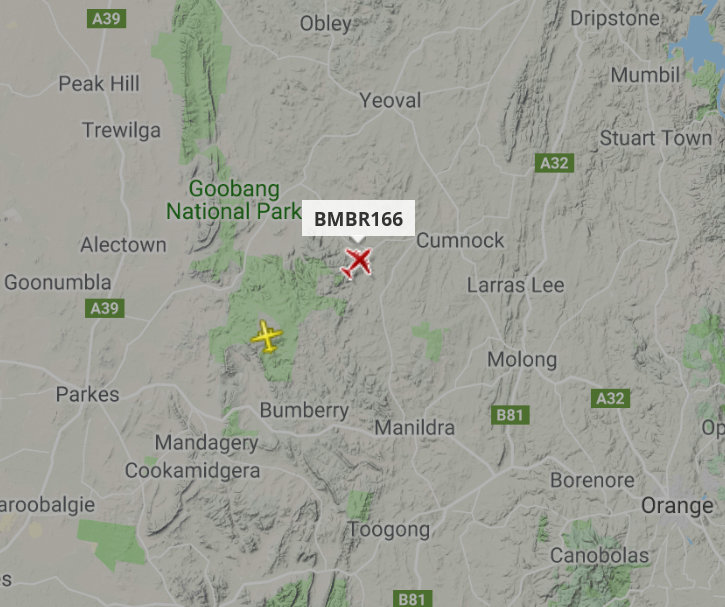
The VLAT (Very Large Air tanker) was deployed to assist.
![]()
Staff and volunteers are manning the Canobolas Zone fire control centre.
Photo from Adrian Cisco North West 7
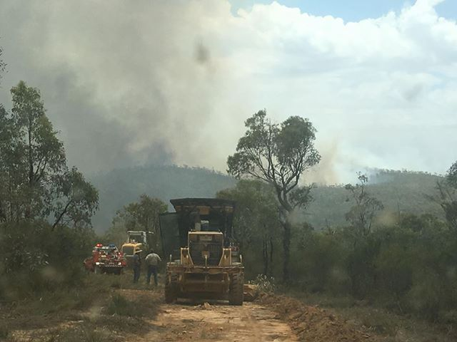
Photo from NSW RFS
