Mt Hay Range East Hazard Reduction Thursday 5th and Friday 6th May 2016
Published Date: 03 May 2016
Summary
There will be a Mt Hay Range East Hazard Reduction, weather permitting, on Thursday 5th and Friday 6th May 2016.
Blue Mountains Bush Fire Management Committee
Hazard Reduction Notification
Download the Mt Hay Range East Hazard Reduction Notification
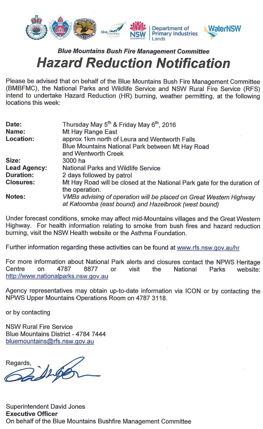
Please be advised that on behalf of the Blue Mountains Bush Fire Management Committee (BMBFMC), the National Parks and Wildlife Service and NSW Rural Fire Service (RFS) intend to undertake Hazard Reduction (HR) burning, weather permitting, at the following location this week:
Date: Thursday 5th and Friday 6th May 2016
Name of HR: Mt Hay Range East
Location: approx 1km north of Leura and Wentworth falls
Size: 3000 hectares
Lead Agency: National Parks and Wildlife Service
Closures: Mt Hay Road will be closed at the National Park gate for the duration of the operation.
Lead Agency: VMBs advising of operation will be placed on Great Western Highway
Under forecast conditions, smoke may affect mid-Mountains villages and the Great Western Highway. For health information relating to smoke from bush fires and hazard reduction burning, visit the NSW Health website or the Asthma Foundation.
Further information regarding these activities can be found at www.rfs.nsw.gov.au/hr
NSW Rural Fire Service
Blue Mountains District - 4784 7444
bluemountains@rfs.nsw.gov.au
For more information about National Park closures contact the NPWS Heritage Centre on 4787 8877 or visit the National Parks website: www.nationalparks.nsw.qov.au/.
Regards,
Superintendent David Jones
Executive Officer
On behalf of the Blue Mountains Bushfire Management Committee


