Harris Creek and Nature Track Hazard Reductions
Published Date: 09 May 2017
Summary
Weather permitting, there will be a Hazard Reduction conducted at McMahons Lookout, Harris Creek on Wednesday 10 May, 2017 and another Hazard Reduction on Thursday 11 May, 2017 at Wentworth falls Nature Track. Please see attached details.
View Pdf of Harris Creek and Nature Track Hazard Reductions

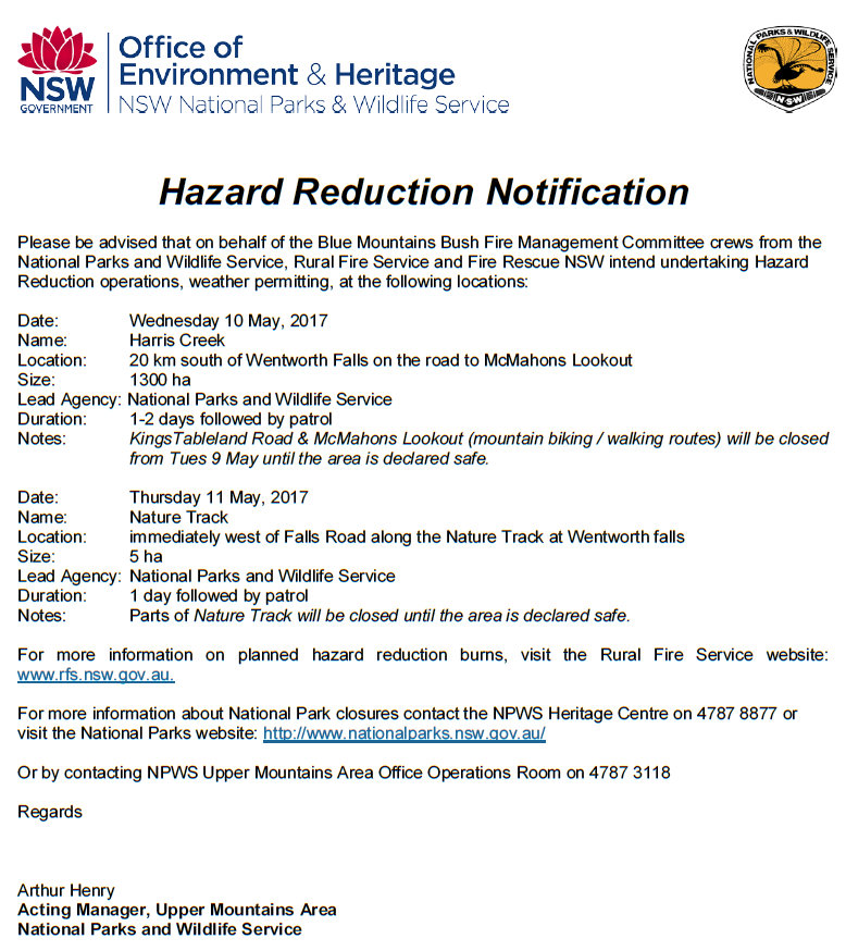
Hazard Reduction Notification
Please be advised that on behalf of the Blue Mountains Bush Fire Management Committee crews from the National Parks and Wildlife Service, Rural Fire Service and Fire Rescue NSW intend undertaking Hazard Reduction operations, weather permitting, at the following locations:
Date: Wednesday 10 May, 2017
Name: Harris Creek
Location: 20 km south of Wentworth Falls on the road to McMahons Lookout
Size: 1300 ha
Lead Agency: National Parks and Wildlife Service
Duration: 1-2 days followed by patrol
Notes: KingsTableland Road & McMahons Lookout (mountain biking / walking routes) will be closed from Tues 9 May until the area is declared safe.
Date: Thursday 11 May, 2017
Name: Nature Track
Location: immediately west of Falls Road along the Nature Track at Wentworth falls
Size: 5 ha
Lead Agency: National Parks and Wildlife Service
Duration: 1 day followed by patrol
Notes: Parts of Nature Track will be closed until the area is declared safe.
For more information on planned hazard reduction burns, visit the Rural Fire Service website: www.rfs.nsw.gov.au.
For more information about National Park closures contact the NPWS Heritage Centre on 4787 8877 or visit the National Parks website: http://www.nationalparks.nsw.gov.au/ or by contacting NPWS Upper Mountains Area Office Operations Room on 4787 3118
Regards
Arthur Henry
Acting Manager, Upper Mountains Area
National Parks and Wildlife Service


